(copyright 2000)
In June of 1994 I flew out to Denver, rented a car, and set out west for the Southern California coast by way of Lake Tahoe. From there, I intended to drive up the coast on scenic Routes 1 and 101, all the way to Olympia National Park in northwestern Washington state, from whence back to Denver via scenic routes not fully predetermined. I would go as far in a day as felt comfortable, taking my time to see whatever took my fancy. I was going, not to get anywhere, but to appreciate being where I was. I would find my night’s lodgings on the way.
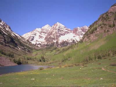
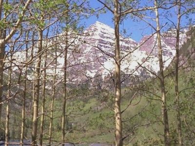
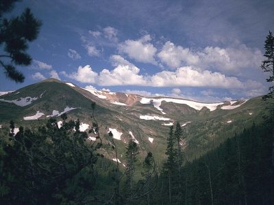
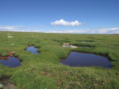
Since I’d been in and through the Rockies a number of times in the past, sometimes driving, sometimes by train, sometimes skiing, I figured I’d go straight through, headed for new places. I cannot mention the Rockies, though, without showing a few pictures (taken on other trips):
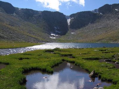
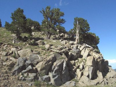
Heading west from Denver on I-70, shortly after passing Eagle, CO, I passed through Glenwood Canyon, the last segment of I-70 to be completed (and that, only recently). Glenwood Canyon was excellent! . . . red rock, jagged and tiered in different forms . . . one scene (two, jutting, vertical red-rock, “shattered” rock forms) was so memorable that I remembered it from having seen it from Amtrak 3 years ago. It was neat how the road (two lanes in each direction, at different levels) and the railroad tracks all were worked through the narrow, steep canyon.
I decided to stay in Grand Junction (CO) for the night at a Motel 6 on the north side of town, near the airport. For the most part, I had a bad night. After finding the Walmart, and going to Alberson’s supermarket, I came home and ate a large amount of corn chips, trail mix & cereal with about a quart of milk. My stomach didn’t feel so good so I thought it might help to take a walk over to the airport, which didn’t help. Nonetheless, I was able to sleep well after I got back.:
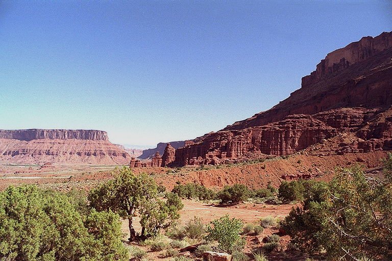
Moab is a pleasant, touristy town that caters a lot to visitor’s outdoors interests. There is also a very good information center there, run, at least in part, by the National Park Service. There I saw picture books of various National Parks, including Arches, Canyonlands, Bryce and Zion. Afterwards, I felt satisfied not going to Arches in person. I’d very much enjoyed seeing the canyon country on the way to Moab, but at that point I’d had about enough and wanted to get on with my trip.
[Note: This was the land of prairie dog road kill, especially on I-70 near where it meets route 128.]
I stopped at Green River for a nap. At first I had trouble finding a shaded place, but finally found some shade for the car under a cottonwood tree on an isolated dirt road. At first I wasn’t so at ease, but I put the seat back, opened the windows and the sun roof, and rested, hearing the strong breeze through the cottonwoods. At one point an older, thin man in a pick-up truck slowed to take a look at me. He quickly moved away when I opened my eyes to look his way.
After a nice rest, I got to Route 191 north, heading toward Price . . . turned out there was road construction, which slowed things considerably. At Price, I ate at the Pizza Hut, then moved on up Route 6 toward I-15, Provo and Salt Lake City. I found the exit for I-80 West just at the last minute and traffic quickly thinned heading west from Salt Lake City.
When the exit to the Saltair “recreation” area at Salt Lake came up, I decided to take it. There I saw a building on the lake shore evocative (at the least) of the one I’d seen when there more than 30 years earlier. Upon opening my car door, a stench hit me . . . I decided to move the car to a location well away from the Porta-Johns. Surprising the stench followed me . . . it was the entire lake shore that reeked of rotting vegetation (or worse) left behind by receding waters. There weren’t many people there (I wonder why :-)). I found the girl at the concession store was nice and attractive . . . it gave me pause to realize she was almost surely less than half my age, yet physically mature. I felt a bit sad about getting older . . . nostalgic for youth . . . wanting to imagine her and I together without “father/daughter” connotations.
From Salt Lake it was west along large areas of drying or dried salt. At one point I stopped on the freeway to go out and walk on the salt and take a picture of an unusual sculpture I’d seen silhouetted as I approached. At another point, the surface under the salt was very gooey and sort of like soft clay. That stuff, and the salt, stuck to my boots, gummy. I got it off as best I could before getting back in the car. I made it to Wendover Nevada, just over the state line from Utah, around midnight, where I’d planned to spend the night. Sorry to the good people of Wendover, but it looked seedy, garishly lit or whatever to me . . . not the type of place with a lot of “law and order.” I think it makes its living catering to Utahans who come over the border to gamble (and maybe get rowdy) in the casinos and other establishments. Being as it was late and I was pretty much in the middle of nowhere, I figured I best take what I could get (Motel 6), hoping my car (a new Toyota Camry V6 rented in Denver) would still be there in the morning.
The next day, although I didn’t get started until noon, I drove all the way across northern Nevada, making it to Lake Tahoe as night was falling. Northern Nevada is open and vast, with large portions pretty nearly flat. What few cars or trucks there were on the Interstate (I-80), I could see from far (maybe miles) off. I could be traveling at 70mph, yet barely seem to be doing 40 or 45 . . . there was little in the flat, dry, open terrain to give much of a sense of motion. Things seemed to be in slow motion . . . at one point I saw what was probably a mile long coal train off to my left, seemingly moving slowly . . . I could see it in detail, a plain as day. Only later did I realize it must have been a good mile off in the distance and moving nearly as fast as I was (judging by how long it took me to overtake it).
Originally, I’d thought to come all the way across Nevada on I-80. However, by the time I got to Elko (where I had 2 pieces of leftover pizza and a McDonald’s strawberry sundae), this did not seem so exciting a prospect. I decided I would turn south at Battle Mountain on Route 305. Route 305 was two lanes and very lightly traveled. Eventually, I was cruising at 80mph (the engine was cranking at just under 3000 rpm). For a short time I had the car cruising at 100 mph (3500 rpm or less). [Rpm’s could get much higher when I accelerated to pass (5500+ rpm]. As I went further south on Route 305, the scenery got better. For a time, I cruised through canyonlike country. The road followed the contours of the land in languid-seeming, serpentine curves. Rolling and curving, I could imagine I was piloting a low-flying airplane.
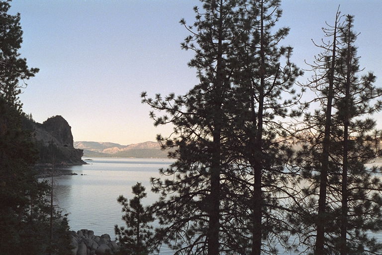
At Route 50, I went west. En route, I explored Fallon, which is an OK town. I went through Carson City (the capital)–its city center area really was quite nice. Just outside town, on the short run to buy disulfiram online australia Lake Tahoe, Route 50 gets very scenic, abruptly going up into mountains forested with pine.
I decided to stay in Grand Junction (CO) for the night at a Motel 6 on the north side of town, near the airport. For the most part, I had a bad night. After finding the Walmart, and going to Alberson’s supermarket, I came home and ate a large amount of corn chips, trail mix & cereal with about a quart of milk. My stomach didn’t feel so good so I thought it might help to take a walk over to the airport, which didn’t help. Nonetheless, I was able to sleep well after I got back.:
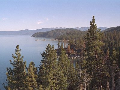
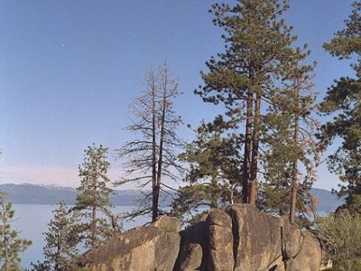
After a big pancake breakfast at the restaurant at Zephyr Cove, I checked-out and headed toward the Eagle Falls trailhead just off of Emerald Bay for the hike to Eagle Lake. Before beginning my planned hike, I saw Eagle Falls, which is on the other side of the road from the trailhead. This may have been the highlight of the day. The water split into 3 falls, the main portion cascading almost vertically down a 100 foot rock face, crashing on rock ledges, torrents going one way and the other, spray in the air. I could see torrents as fluid entities within the main body, or, alternately, I could focus on the individual drops of water.
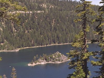
Emerald Bay (south side of Lake Tahoe)
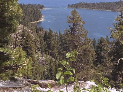
This is, I believe, the view from the top of Eagle Falls
Next, I began my hike into the Desolation Wilderness, which would prove to be my primary activity of the day. I did not fill out the permit at the trailhead because I expected I’d not be going far, but, soon after beginning, I did put a note in my wallet, indicating who to contact in case of emergency. I figured the benefit of the note was that, if something serious befell me, my family could get the news.
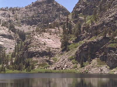
I climbed up to Eagle Lake. It’s a small, quiet lake surrounded by mountains. Here I stopped in the shade of a huge pine, resting on the rock, reading more in my book. After a while, I felt like hiking some more, so I left the Lake and took the trail going to higher elevations.
Eagle Lake:
Soon, I came upon the couple I’d briefly met earlier and asked where the trail went. He said it went around the mountain and came out right in the same parking lot from which I’d begun. He thought it would be about an hour’s hike and said he was familiar with the way, having done it before. If ever the trail should diverge, all I needed to do was to bear to the left.
Here begins a tale of my foolishness in getting into an extended hike without adequate preparation. I had no food with me and no clothing beyond the shirt and pants I wore. I carried my camera and book in my canvas Safeway sack and my canteen on my shoulder.
I figured I could try the trail for 45 minutes or an hour, and, if it didn’t look promising, I could turn around and retrace my steps. The thing is, I really didn’t want to retrace my steps. I wanted to go a new way. I figured that even if I did not come out at the same parking lot, I’d very likely come out at the Bayview trailhead just down the road. Another couple had told me of a 3 hour circuit they had done from Bayview to Eagle Falls.
I kept going further and higher, generally bearing to my left, although there really was no point at which the path really seemed to diverge. I was alone. I kept going. One hour passed. An hour and a half. Two. I was getting worried. I knew I should have come better prepared. I began to think I might have to turn back if I didn’t see a hopeful sign soon. I couldn’t keep going much beyond 4pm and still hope to retrace my steps before dark. I’d be in serious trouble if caught out in the night as I’d not be able to see the trail and would have to wait until morning. It’d be getting down close to freezing on the mountain in the night. Finally I did come upon a four-sided trail signpost.
As I approached, I saw arrows pointing in two directions and expected one of them probably would be point the way to Bayview. I was annoyed that neither did and thought that if I had nothing more of encouragement I would now have to begin retracing my steps. But I went around to the other side of the post and found one more inscription, an arrow pointing in what I figured to be the right direction and saying “Bayview.” So I continued.
A little later a guy and his dog came up the path from the direction I was headed. I asked if it went to the road (Bayview) and he said “yes” but that it was a long way. He said he’d gone ahead a couple of miles and had seen the road in the distance, but decided to go back to Eagle Falls, not wanting to walk with his dog on the narrow road from Bayview back to Eagle Falls. He said, though, he could appreciate my not wanting to retrace my steps all the say back to Eagle Falls. I was too proud to ask him if he had some trail mix he might be able to spare.
So, on I went. One thing I’ll say, no one on this day had underestimated distances. And because I’d climbed most the way to mountain peak level, I knew I had to come back down from that altitude before reaching the road. So far I’d seen no trend for the trail to head down (it was now traversing). I wanted to see the trail heading down. I had grown a bit fatigued and tired of climbing and was moving more slowly. I was surprised to see snow on the ground in patches, some of it still mostly white. At times, I was ‘in the zone.’
After having gone what I’d estimated to be two miles from where I’d met the other hiker, I’d not seen the road, but I was encouraged that the trail was heading down. Finally, I got to a point where I could see Lake Tahoe, an encouraging sign as I now had more of a sense of just where I was. A little later, I could see the road and, using my binoculars, thought I could even seen my car!
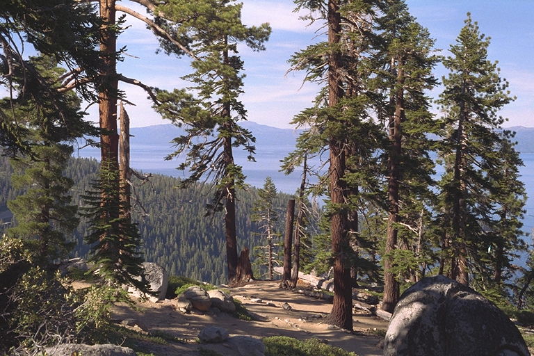
As I got to lower elevations I could no longer see the lake or the road. I wasn’t home quite yet, and it was taking a long time getting down. When I’d seen the road below, it hadn’t seemed quite a far away as it proved to be. Nonetheless, I did make it to the road about 6pm and had a mile to walk along the road from Bayview back to the Eagle Falls trailhead. Once back at the car, I ate three nectarines, which really hit the spot. I looked at the roadmap and decided that, as I was tired, I’d simply go back into town and check out the Motel 6, rather than beginning to drive up the west side of Lake Tahoe. Before leaving the Eagle Falls trailhead, I filled-out the Desolation Wilderness permit form and left the carbons in the box.
From Lake Tahoe I headed south on Route 395 to Mono Lake, CA, where I camped overnight. The next morning, I cut through Yosemite National Park to Mariposa, CA, where I visited/stayed with my father’s sister, Joyce, and her family, before heading out, generally southwest to the California coast at San Simeon.
Mono Lake was a real bonus for me. The first I knew of it was when I came over a rise in the road and saw it spread out in the distance below me maybe 1000′ below. It was blue, the sky was clear, and the sun bright in the early evening.
There were vast stretches of white along some shores, which reminded me of the Great Salt Lake (not an especially positive association).
When I got closer, I wondered what the white mineral formations along the near shore were (Were they salt?). I stopped and took a look with my binoculars. Yet I wondered. Across the lake, several miles away was what looked like a ridge of dark sand. Using my binoculars, I could barely see a yellow grader on the “black sand.” Could the “black sand” possibly be coal? What was it?
There were numerous seagulls along the shore. As I looked out across the lake with the binoculars, barely perceptible in the distance, was what? . . . was I seeing gulls on the wing or was it whitecaps on the water?
A little further down the road there was a Lake Mono National Park Services visitors center (closed). But I learned that the area was volcanic, saw samples of granite and obsidian and pumice, learned that the lake was a major stopping-off point for several types of rather exotic migratory birds & that there were something called ‘tufa’ formations along the shores. I picked-up a map that would tell me more about the lake.
I spent the night at Lee Vining, a small town within just a few miles of both Mono Lake and the Tioga Pass entrance to Yosemite. There (in Lee Vining) I camped-out! It took me better than half an hour to put the tent up. It was the first time I’d done it, and I had a little trouble remembering all Nancy had shown me . . . but I figured it out and got it up pretty well, although not picture perfect. One thing I’ll say, I doubt I’d ever have put it up on my own had Nancy not shown me how to do it before I left Denver.
It was dusk by the time I got the tent up, so I retired to the tent for the night. I’d blown-up my $1.50 air mattress and set up the sleeping bag Nancy loaned me. The tent smelled musty inside, but I got used to it soon enough. I set-up my flashlight so that it would shine at the ‘ceiling’ and ate trail mix and cereal while reading. All things considered, the light was amazingly adequate. First, I read about Lake Mono, which I’d be visiting first thing the next morning, then I read a little on existentialism. After this I went to bed, sleeping in my clothes so it’d be easier to get up for the bathroom in the night. I was a little overly warm in Nancy’s sleeping bag at first, but later the temperature was just right.
First thing in the morning, I got a shower for a quarter, and it felt very good. By around 6am, I was packed up and on the road back to Mono Lake, driving the 10 miles out to the south tufa area, passing several volcanic craters on the way. I’d learned that tufa is calcium carbonate formed when calcium-bearing, fresh water springs would seep into the alkaline waters of the lake. The white flats I’d seen along one shore were deposits of alkali. I guessed the “black sand” was probably pumice. The lake is, by the way, very salty.
I walked a mile on the path through the tufa formations and along the shore. One thing I especially liked about this area and about the visitors center the night before was the complete absence of crowds of people. The whole area was desolate, yet alluring.
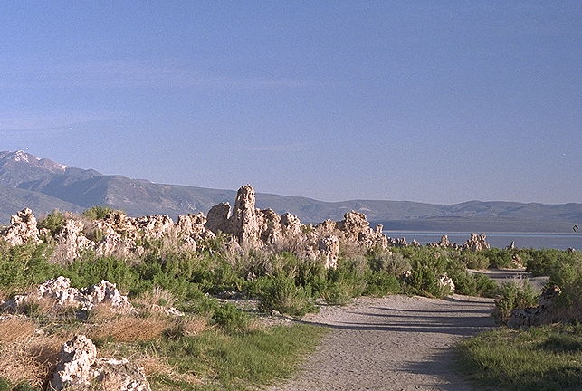
Lake Mono tufa formations
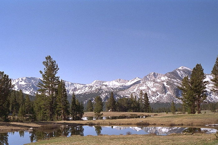
Tioga Pass (an entrance to Yosemite)
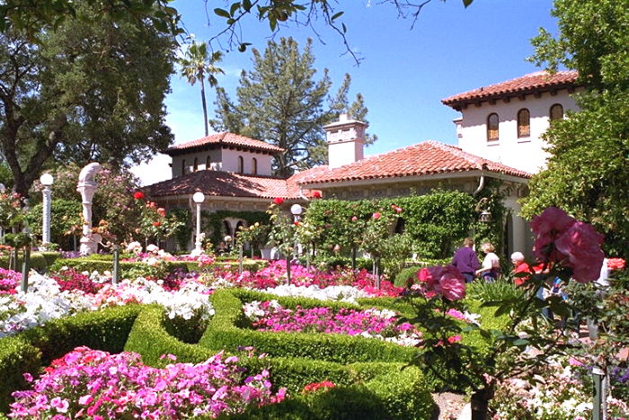
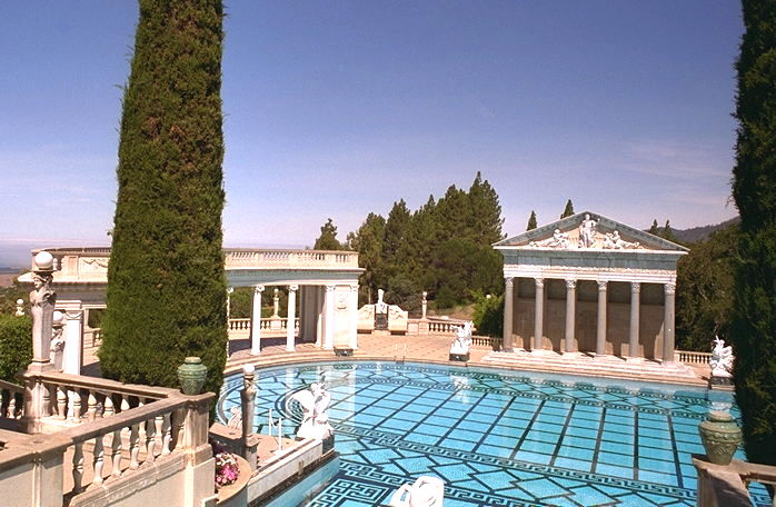
After staying with my relatives in Mariposa for a couple days, I made it down to the coast at San Simeon (the site of Hearst Castle). After visiting the Hearst site, I headed north on Route 1, along the coast. At Hearst:
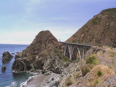
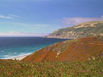
June 16: Route 1 (along the coast) has been great. Never before have I been on a road so consistently scenic. Much of the road twists, turns, dips & rises sharply. I’m probably averaging 35mph when I’m driving. It’s surprised me how cool it’s been all along the coast. I expect I’ll be wearing my down vest much of the remainder of my trip. I may not be inclined to make journal entries outside or even to read outside, certainly not if the wind continues blowing briskly as it did yesterday.
Here are some of my shots taken from Route 1:
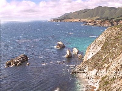
The Marin Headlands
The Marin headlands, just across from San Francisco were a highlight . . . lots of good-sized hills, grassy, brown, dry, with the road wandering up, down, and around. The area was pretty isolated, especially given its proximity to a major city. As with every day so far on my trip the weather was sunny and clear . . . in this I’ve been fortunate . . . it’s not unusual for there to be fog or clouds along the coast.
I drove up to an overlook, then climbed a little further, by foot, to a higher place where, turning around, I could see off into the distance in every direction–I was on a peak. I could see San Francisco, the bay, Alcatraz, the Golden Gate, boats in the water, other hills & more. I used my binoculars. The walk up was interesting, both in giving a closer view of the (predominantly grassy) vegetation of the headlands, and in permitting me to closely examine the emplacements for what almost became a completed shore battery of 2 16″ naval rifles in 1943.
Muir Woods is just north of San Francisco. I find it magnificent that such a fine park is located so close to a major city. I consider San Franciscans lucky to have such a resource.
I took a short hike in Muir Woods, and this was one of the highlights of my trip. First, there are the huge redwoods (Sequoia variety?), some more than 200′ tall & 10′ in diameter along a heavily traveled footpath from the visitor’s center that followed a stream. After about a mile, I left the the main path along the stream, setting off on a less frequented path that took me diagonally up the steep valley side to the top of what seemed like a ridgeline separating the redwood valley from the Golden Gate. As I climbed the path along the valley wall, I came even more to appreciate the true size of the redwoods growing in the valley below–looking out from the side of the valley wall, I could see the trunks of huge trees that stretched far downward to the earth and yet far upward toward the sky. I took no pictures in the redwood forest because I could find no way to capture the majestic size of the trees.
As I got near the top, the redwoods disappeared in favor of other types of evergreens. The groundcover, even in the redwood forest, did not look much different to me than what I might see in a Midwestern forest.
In transitioning from woodland to grassland, I saw a tree almost completely covered with an off-green fuzzy/furry looking stuff. I touched it and wondered whether it was part of the tree until I saw that some of the tree’s upper branches did have some leaves on them. Then I noticed that a few other similar-type trees also showed signs of some “infestation.” I wondered if this was an “infestation,” foreign to the native environment and out of control, or was it instead possibly symbiotic with its tree host.
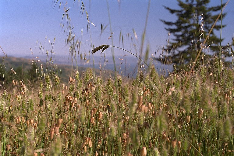
Crossing the ridgeline, I was soon in grassland. I saw and touched the different grasses. Now I was out in the direct sunlight (sun at my back), a breeze was rolling through the grasses, and the temperature was just right. I wondered what animals lived in the grasses. Mice, perhaps. A couple of raptors circled lazily above and I stopped to watch. One looked like an eagle (although I was told there were no eagles in the park).
About halfway through the hike, I was feeling very lonely and realized I should let nothing deter me from staying at an AYH (American Youth Hostel?) for the night (for its social possibilities). Upon returning to the visitor’s center, I was pleased to find that the hostel at the Point Reyes National Seashore would have openings for the night (thus, no need to backtrack to the one in the Marin headlands . . . also, I liked the idea of exploring something new rather than going back to a hostel that had not looked overly impressive).
At the Hostel
The drive up the coast was nice, and the portion through the lands of the National Seashore, as the sun was sinking low, surely was no exception. I saw a pleasing combination of trees, scrub and grasses and found the hostel. The building looked quite nice, but I was nervous about going in–not so confident, wondering whether I’d fit in. I went in, paid my $10, Bob checked me in and showed me around.
Except for talking with Bob and very briefly with a few other people at the hostel, I was pretty quiet that evening. But so were other people. There were no more than 15 other guests and there was none of the talking, sharing, “campfire” atmosphere I’d expected. Also, I was surprised that most of the guests were in my age range. In this country, they might just as well leave the “Y” out of “AYH”.
After eating cereal alone, I dozed-off on one of the couches. There were a few other people around, but, when I awoke after 2am, I was the only one. I went to bed in the dormitory with 7 or 8 other guys. I got to bed pretty quietly and was glad to find my blanket warm in covering my rented lined sleeping sack. I felt very cozy in bed and liked hearing the sounds of others sleeping all around. I slept well.
The next morning, I skipped the shower, partly because it was occupied, and, once I’d gotten my clothes on, didn’t want to take them off again (it was really rather chilly). I ate my fruit, talked to Steve, the young guy from England, about his travels, did my job of clean-up in the kitchen & left to be on my way.
I went down to the seashore (secluded Limontour beach), where I walked out to the surf breaking on the wide and sandy strand. The water would start to crash down at on point on the lip of the wave, then this crashing would spread (sort of a domino effect) all down the length of the wave. The wind was brisk and, as a wave was ready to break, the wind would sometimes blow spray off its crest.
Walking back to the parking lot from the seashore, I took time to stop at the wetlands/marsh to watch and listen . . . the birds, the sounds of birds (and maybe some insects as well?) both near and far, were soothing. What a beautiful morning it was! Through my binoculars, I watched as the mother duck, followed single-file by a line of ducklings, swam, leaving a path through the surface submerged/floating vegetation, to disappear through an opening in the marsh grass and reeds.
June 17: I’ve done a lot since yesterday morning’s entry–I visited 3 hostels (staying at one) and almost got locked into Redwoods National Park.
From Fort Bragg, I continued north on Route 1, rapidly tiring of the road’s ceaseless turns and of the fact that I was averaging only 30mph. Very early in the afternoon, I stopped by the hostel in Leggett, considering possibly staying there for the night to recuperate.
It’s a nice hostel, open 24 hours a day. There’s a pond with vegetation, frogs, many surface skimming insects, and a nice bench for sitting. There’s a very large and comfortable hammock strung between two medium sized redwood trees–it could be quite nice merely to lie there and look up at the sky and trees. There’s a river, suitable for swimming and with fish and with chairs set-up along the shore–I dozed in one of the chairs for a bit. I talked to a few of the people staying at the hostel, including the man and woman manager who are from Australia and touring around the world.
I was torn between staying for the night and continuing to travel on. I decided to travel on and was gratified that the coast highway, which at Leggett came to be Route 101, was improved, with fewer curves and frequent double lanes or passing lanes. I took great satisfaction in being able to average twice the speed I’d been doing on Route 1.
In early evening, I reached Redwood National Park and pulled onto the parking lot at the visitor’s center, which was closed. I was a little uncertain about going in because one side of the entrance gate was closed and said “closed” on it. But the other side was open and I could see quite a few cars in the lot. I really do like to see the displays and learn a little more about the parks I’m passing and so went in. After I’d read part of the display, a park ranger pulled-in and was giving helpful and sincere advice about the parks to two young people who were touring. Because he was talking about something that particularly interested me, I moved close and listened-in for half a minute. Then I went back to reading in info on the far side of the display and up to the visitor’s center to look around and use the restroom.
As I came back to my car, both the ranger and the young people were gone. When I got to the front gate, it was locked with no way for me to get out. I figured I might spend the night, if necessary (partly feeling, out of an urge to isolate, that I’d prefer sleeping in my car to going on to the Redwoods Hostel).
But I realized I’d be better off at the hostel and so decided to see whether I could effectuate my early release. I found a phone and a phone book, and talked, I believe, with the local operator, who was able to put my in touch with the ranger . . . he told me I’d be free soon. In about 10 minutes he arrived and unlocked the gate. I was feeling a little sheepish and ashamed about the whole thing, but so was he . . . he felt bad he’d locked me in . . . he said he’d seen me but assumed I was part of some tour group. So, I was on my way.
I’ve just returned from my excellent experience at the Oregon Dunes National Recreation Area. To get to the beach, I walked down the steep, fine, deep & disturbed sand of the major dune, across a sand flat, and through the “deflation” zone (a zone of vegetation between the big dune and the beach, where sand originally deposited on the beach was blown further inland and exposed the water table, allowing vegetation to grow).
I stopped on the beach and watched the seabirds and the waves through binoculars. The beach is quite wide and shallow. Waves break far out, closer in, and closer in still, perhaps 5 or 6 in parallel. I touched a starfish (was it still alive? I couldn’t tell). I saw a bird on the wing with a fish in its talons. I saw no other human being as far as I could see in either direction. I was alone.
I sat on a log on the beach, read existentialism, and contemplated the fleeting nature of life . . . how it’s beyond human understanding the reason for our existence. I wanted to be completely alone, undisturbed by anyone, but never felt secure in my desire. Occasionally, I’d look around to see if anyone was approaching.
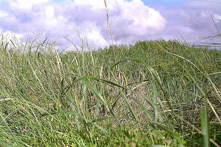
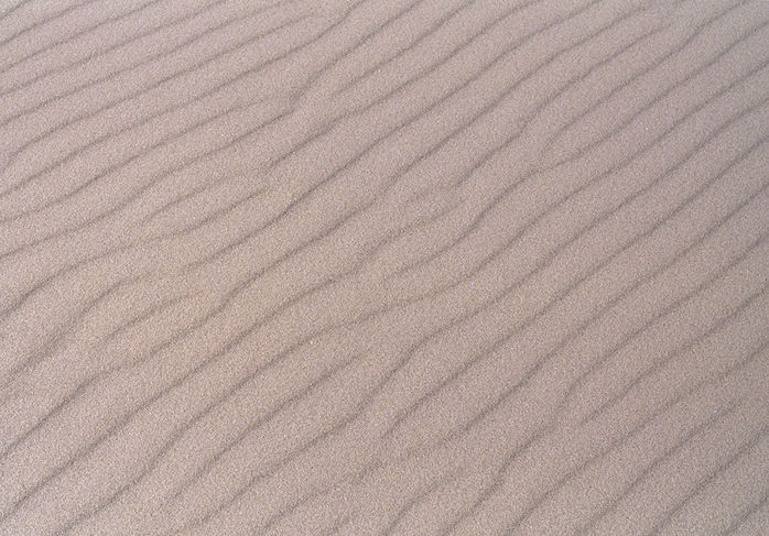
On the way back, I walked the path through the deflation zone, deep in contemplation. I took it slowly, often stopping, and was aware of things I often miss–the sight and sound of birds and insects, busy ants kicking back the sand grains as they walked. I had my binoculars at the ready, the better to look at things off the path without disturbing the environment. I found I could easily focus the binoculars with one hand while holding my camera in the other. I got several good pictures, one of the grasses in the deflation zone, another of the pattern in the sand grains off the beach:
June 19, 2:30pm
I’ve just had another spiritual experience–this time walking the short, temperate rain forest, interpretative loop on the south side of Olympic National Forest near Lake Quinalt.
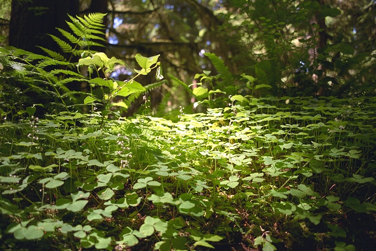
Unlike my experience in the tropical rain forest in Puerto Rico, this time I did not expect too much. There’s so much is here! . . . the tall and ancient evergreens (not uncommonly 800 or 1000 years old), the luscious, green undergrowth, ferns and mosses reminiscent of what I saw in the tropical forest, the decaying logs and nurse logs and dead trunks still standing upright.
Unlike in the Muir Woods, this time I took some pictures. Even though no picture can capture the majestic height and size of some of the trees, I hope that, taken together, my pictures may serve to remind me of what I’ve seen.
Today’s weather is sunny and bright–perhaps somewhat of a rarity around here. But, as I walked, I sometimes imagined what the forest would be like in the rain, in the fog, during a windstorm. Notwithstanding today’s excellent weather, there weren’t very many other people on the trail.
I wonder if, once I’ve completed my visit to Olympic Nat’l Park & Forest, I’ll feel a sort of sadness, my anticipation being behind me. Like the drive up the coast, seeing this temperate rain forest is something I’ve wanted to do for a long time time.
The rainforest floor:
5:30pm
I’ve just returned from Ruby Beach (in Olympic NP) . . . an excellent, spiritual and sobering experience–once I decided to be patient and take my time. Some things just can’t be done in a rush.
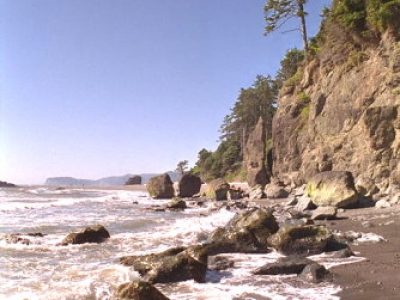
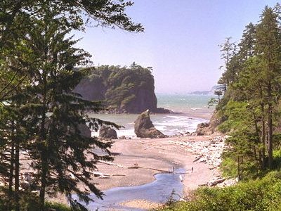
The beach is steep and there are a lot of pebbles, ranging in size from one area to the next, sometimes very small, like course sand. There are a lot of driftwood logs, jumbled, marking earlier high tides. There are rock islands and boulders on the beach and at sea–some with vegetation on top. There’s a small, fast-flowing, clear, freshwater steam, flowing over a bed of pebbles, its turbulence meeting that of the incoming ocean waves.
I was at the beach when the tide was low. I could see where rock that would be submerged at higher tide was worn smooth–big rocks with a high-tide mark. I wondered what the beach would be like at high tide. Maybe I’ll come back tomorrow and see. Now, I’m going to check out the nearby hostel.
June 20, 11:30am
I’ve just hiked the moss and spruce trails from the visitor’s center in the Hoh River Valley, and my spirits are pretty good. At one point in the mature rainforest, it struck me how very many trees were dead and down, and I wondered about their replacement. In that instant, I realized that the forest as a whole was stable–that aggregate rate of growth of the forest’s tree’s was about right to replace those that fell. It’s a cycle. I saw the forest as a continuing unit made up of ever changing individuals.
I thought further about how the forest might change with time and changing conditions–some kinds of life disappearing and other types coming in. I wondered about the place of evolution (as compared to pre-existing forms of life moving in). Evolution is not the same as succession. Succession has been demonstrated. What about evolution? The concept of evolution is key in my thinking about how the life we see came to be. I’d like to really explore the strengths and weaknesses of evolution theory more fully.
In the rainforest, I saw moss-covered, big leaf maples, nurse logs, a woodpecker, a caterpillar, and slugs. I saw the Hoh river in its rocky bed. In places it was very dark and in other places sunny bright.
Last night, I stayed at the rain forest home hostel. The hosts were Jim and Kay and another guest was Jeff. Things started fine with Jim’s relating to me about the value of living an alternative lifestyle. He’s done so and feels it’s the way to go. I think he believes I’d be well off to leave my government job to seek my bliss. Jim’s met many people, first as a hostel manager in Hawaii, then driving a cab there for 7 years, and, more recently, for the past 7 years, running his home hostel here. I regret that I didn’t use the opportunity to talk more with him about how, in his experience, people have found their bliss.
Tuesday, June 21, 10:20am; the first day of summer (summer’s already begun)
Last night, I drove up on Hurricane Ridge. It was a nice drive up–quite good scenery. Toward the top, the mountains in the distance, across the valley, seemed to stretch 180 degrees on the horizon. There was lots of drifted snow and ice in places on the upper elevations.
I was reminded of seeing Denali three years ago. On a steep trail I saw two marmots–first one, then another . . . they lay down next to each other.
I was just watching when a deer came up close, pretty much between where I was and where the marmots were. The deer became still, looking at me for a few seconds. Of a sudden there was a shrill whistle and the deer bounded down the slope with amazing speed (considering the steepness). The marmots also bolted. A little later, a man hiking with children on the trail told me that the whistle is a sound marmots make.
I welcome any questions or comments.
To contact me (Keith Stanley), please email me at kesta1001@yahoo.com.
Here are some links to others of my pages: